We are drawn to Moab for the red rock landscapes and cliffs stained with desert varnish, the petroglyphs trail, favorite dining spots to re-visit, for the way the afternoon sun ignites the colors into brilliant masterpieces of organic formations, arches and natural earth sculptures. And for Mr.D it’s all about adventure and the hiking trails.
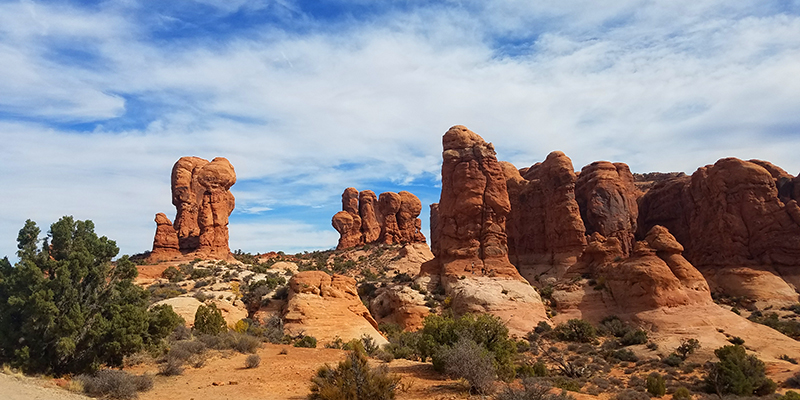
Most people come to Moab to explore and hike Arches National Park, and we totally agree that’s the place to go when you have only a day or two to discover.
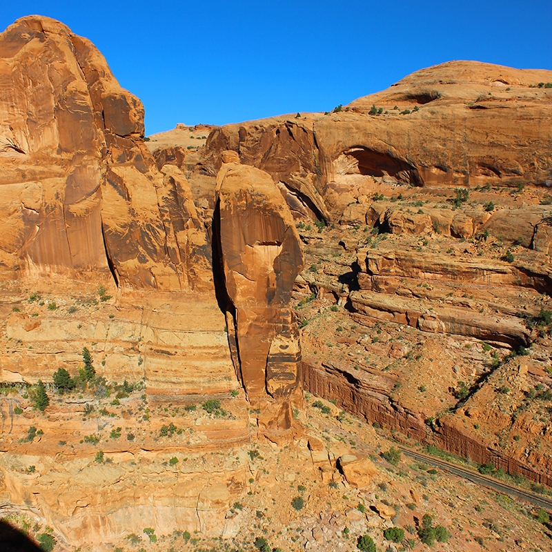
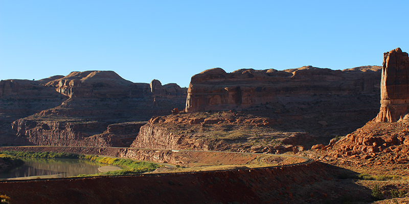
This hike to Corona and Bowtie Arches is adventurous, scenic, not too strenuous, and located a few miles west of the town on Potash Road (road 279) which is why this is sometime overlooked, as it is not in Arches. The drive there is spectacular, along the Colorado River under the base of towering red cliffs.
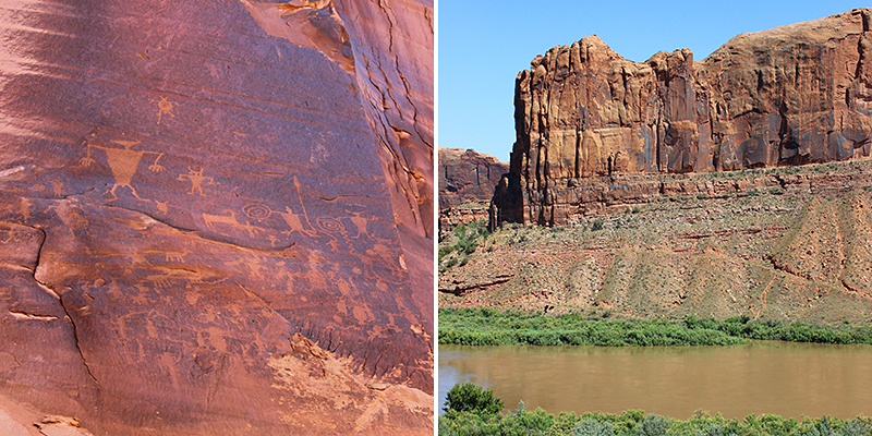
Along the drive you will pass the Potash Road Petroglyphs with great etchings and symbols. Some petroglyphs around Moab require a long hike to reach, but these are right along the road with pullouts so you can park and walk over to view them.
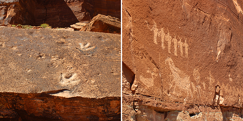
Continuing on this same road are more pictographs, as well as dinosaur prints located at the Poison Spider Mesa trailhead. There is a parking lot and bathroom facilities, and to view the attractions in this open air museum will require some hiking and climbing, though it’s not too difficult. (Located here is also the trailhead to Longbow Arch — strenuous though not difficult and can take up to 2 hours to complete.)
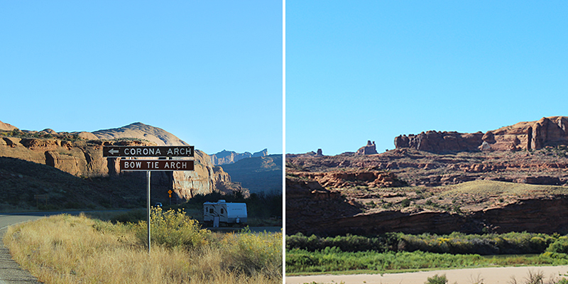
Continuing on Potash Road you follow the bend of the river until you see the parking lot for the Corona Arch Trailhead. On the other side of the road is a camping area along the river.
This trail is pretty much in direct sunlight so it’s suggested to go early in the morning when it’s cool, or in the late afternoon where you can find some slight shade along the trail. Bring water, sunscreen, a hat, and good shoes to climb on slickrock (slickrock is a term used to describe outcroppings of smooth, weathered sandstone). It will take roughly 2 hours and is about a 3 mile trek round trip.
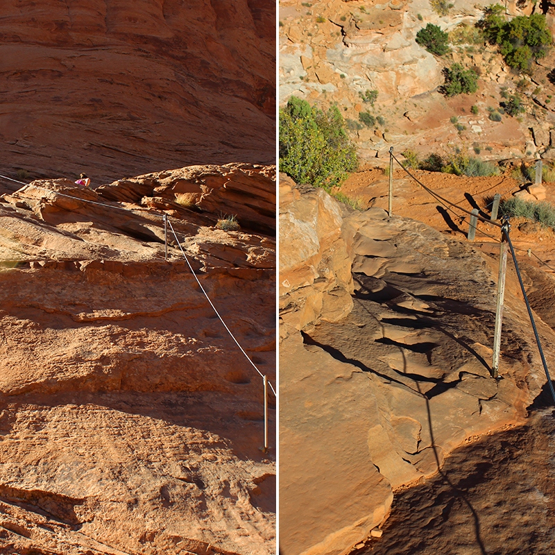
Expect uneven rock pathways and a few scrambles up inclines equipped with safety cables for support. You will climb one short ladder to get over a small ledge, and the trail does skirt numerous drop-offs so watch your step.
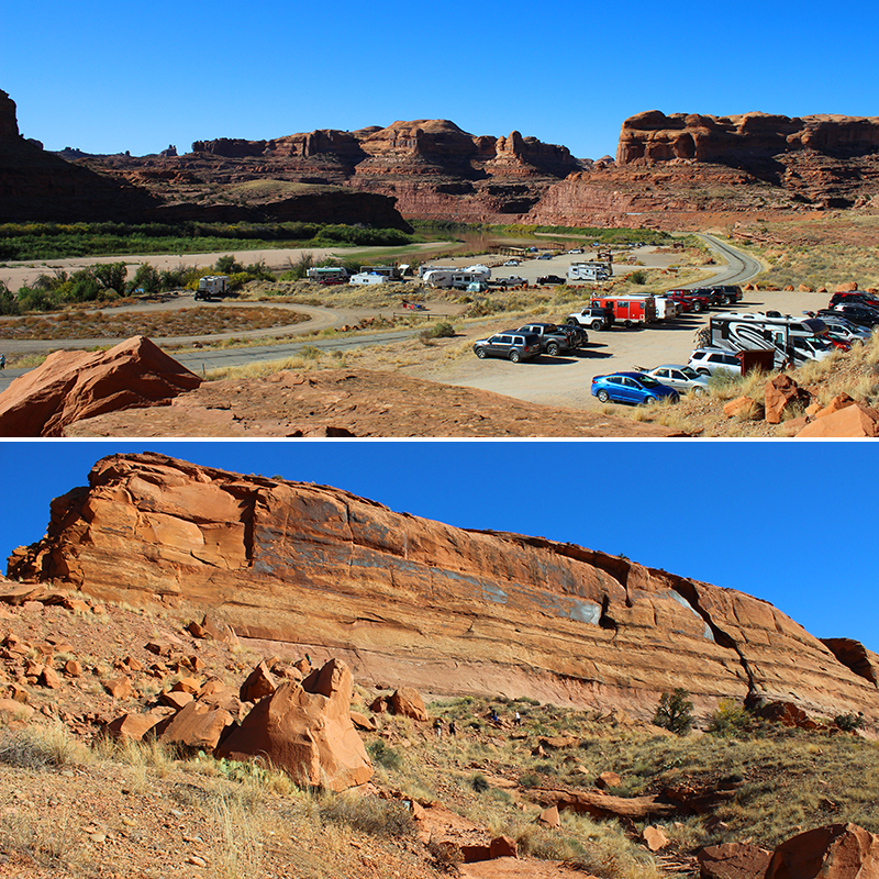
The entire trail is well marked, and in some areas with cairns (little piles of balanced stacked rocks). From the trailhead, you quickly climb a dirt and slightly rocky slope and reach a BLM register box just before railroad tracks. Sign-in to let people know you are on the trail, then cross the tracks.
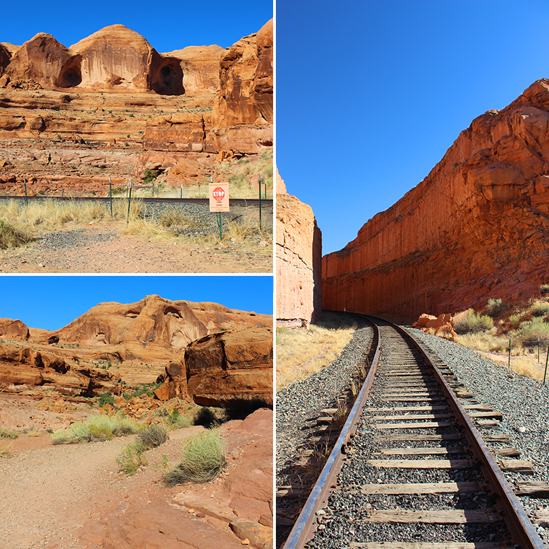
Continue down a dirt road, and you will climb up a shallow rocky canyon to a broad bench of red slickrock. Hike across the sloping sandstone and use the long cable anchored to posts for support.
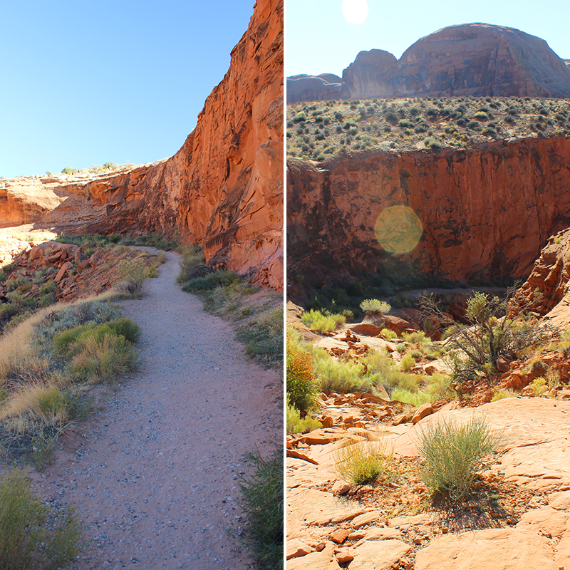
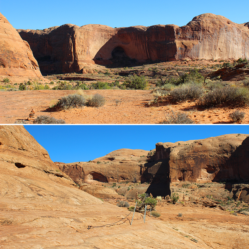
As you round a bend, you get your first glimpse of these two spectacular arches with Corona Arch spanning above Bootlegger Canyon.
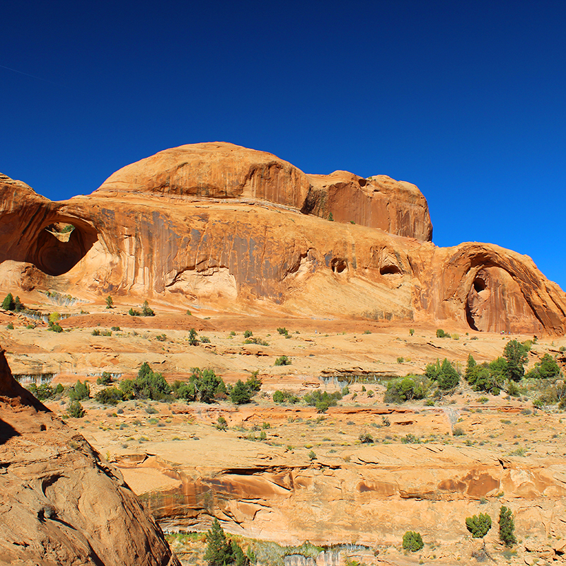
The trail continues over slickrock, bends to the left left along a wide stone bench and reaches another cable. Grab the cable and climb steps chisled into the sandstone slab. You will walk a little farther, then climb a five-step metal ladder to reach a small ledge where you will find a small and twisted juniper tree. Follow the wide slickrock trail around a bend towards both arches.
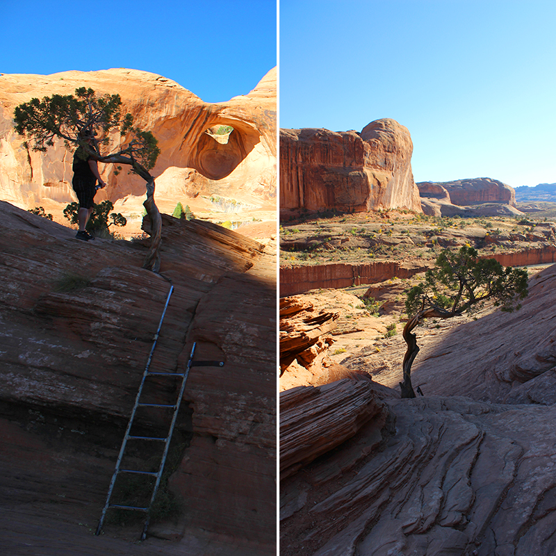
Bowtie Arch towers above you, like a porthole into the clear blue sky. This type of arch is called a pothole arch and formed when a pothole above erodes down into an alcove below.
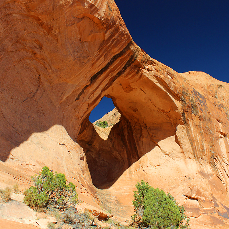
Continue hiking along sloping slickrock to reach Corona Arch, also know as Little Rainbow Bridge — an amazing span composed of sandstone, and the partly freestanding arch opening measures 140 feet across by 105 feet high.
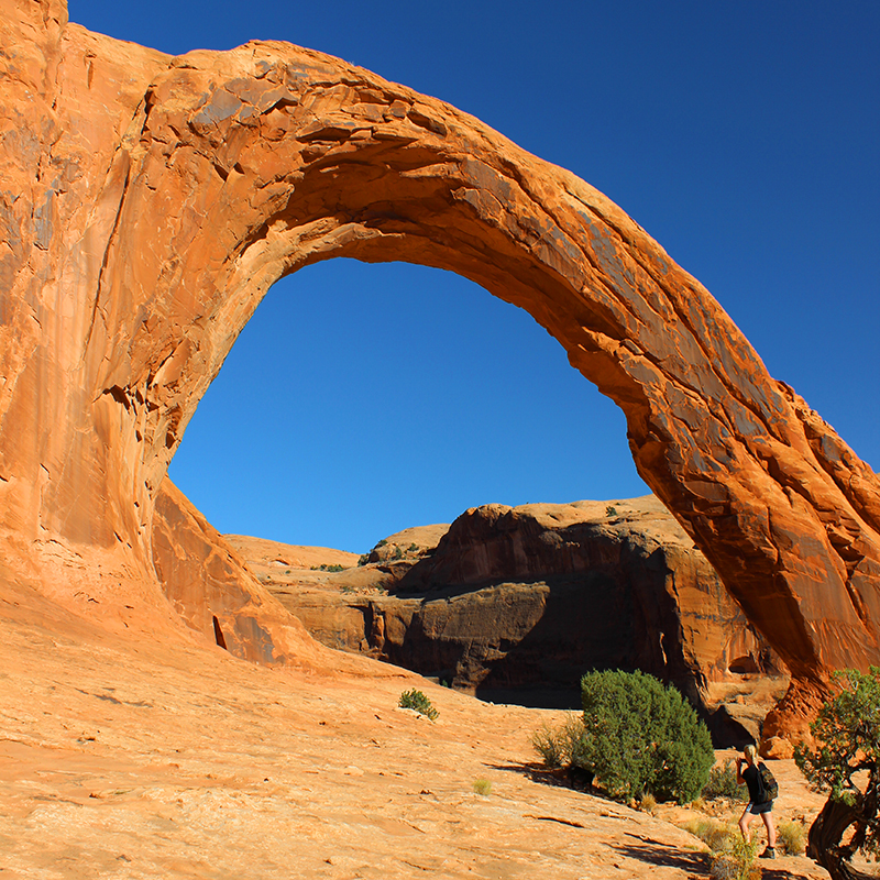
A truly spectacular experience to walk underneath this massive arch, and just leaning against it’s outer pillar looking up and taking the breadth of it all is beyond words. The rich red color of the sandstone cutting into the crystal blue sky is stunning.
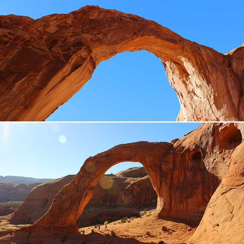
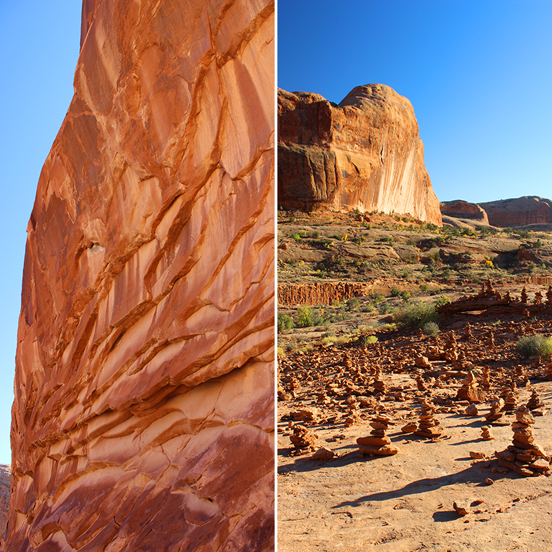
Walk around, see it from both sides, and peer into the canyon near by. This arch has stood for eons in its strength and fragility, and it can be humbling to realize you are viewing it for a mere blip in time compared to the life of this landmark.
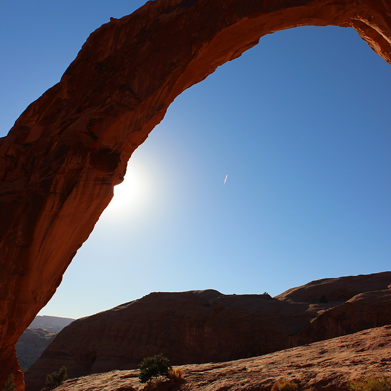
When ready to return, you basically reverse your steps and finish the hike by following the trail back to the trailhead.
We hope you have the opportunity to discover Bowtie and Corona Arches, and the otherworldly areas along the way.
Happy Discoveries!
Mr.D and Amy
If you liked this article you may also like …

10 comments
I am loving your hike posts. So inspired to see Moab and this double arch hike!
AZ Sunshine, it’s completely worth seeking out, and when you go pls send pics so we can share with everyone! and P.S. more hikes in the southern Utah area are coming soon.
Beautiful! We will find this hike next trip to Moab.
Denise, next time you’re in Moab send photos so we can share with everyone, and pls let us know how you like Corona and Bowtie! 🙂
Mr.D, these hikes are awesome! Parts of this area look like scenes from Indiana Jones and maybe would work for Chiles Meet The Movies?
Shannon & Drew, you are definitely onto something here. Let me see what I can do. – Mr.D
Thank you for taking me on these journeys with petroglyphs, dinosaur prints, natural arches and great beauty. My tired old feet wouldn’t make this trek and so I am appreciative of such detailed accounts of your hikes. I feel as though I was just there with you in Moab.
Doc, comments like yours mean the world to us. Thank you so much.
I love Moab, it’s one of my favorite places to hike and explore. Thanks for this great article on Corona Arch. Haven’t been there in a while and will visit it again next time I’m in Moab. Southwest Discovered rocks!
Starlifter, thank you! Moab is such a special otherworldly place, we love it there. And next time you’re hiking pls send pics so we can share with everyone!